GeoGeek


Description
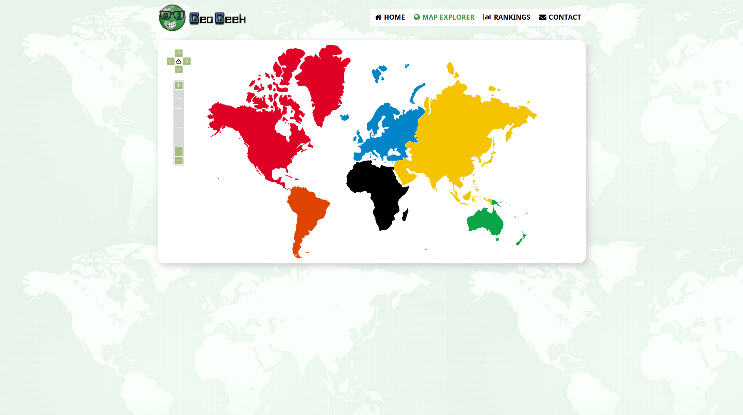
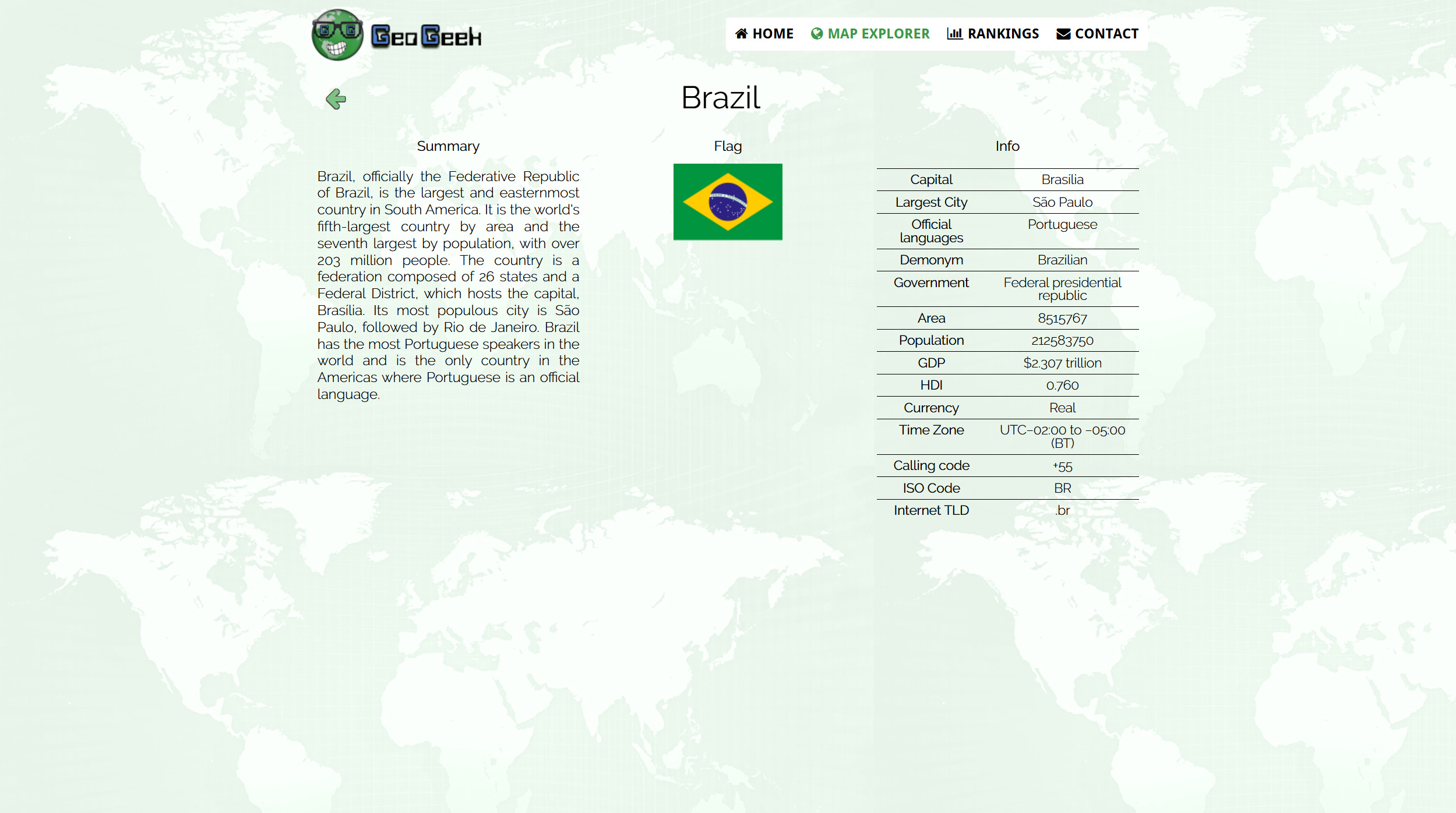
GeoGeek is a dynamic platform designed to teach geography interactively. Users can explore world maps, gain detailed knowledge about countries, and discover fascinating geographical rankings. The JSON database, generated by my Wikipedia Country Scraper project, is managed using TaffyDB for efficient data manipulation. This project also includes a custom-designed logo, enhancing the platform's visual identity. Interactive map features are created using AmCharts.
Date
05/2015